Coastal Watersheds
Introduction to the Chehalis River Watershed
Watersheds link the habitats of Washington’s Pacific Coast from headwaters to bays and the open ocean. Humans, wildlife, plants, fungi, and microbes are all connected along the path of a watershed. The next several coastal watershed blogs focus on the largest watershed found entirely within the State of Washington, the Chehalis River Watershed.
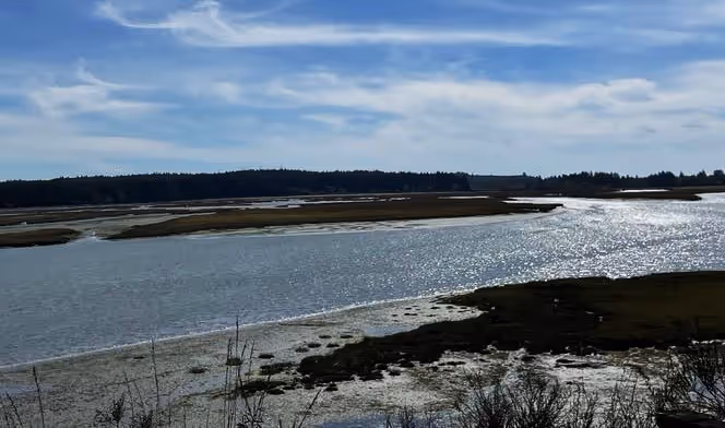
The Chehalis River has numerous tributaries and the watershed includes the receiving bays and estuaries known as Grays Harbor. Over the next few months, we shall explore the southern and northern tributaries that flow directly into Grays Harbor as well as the main branch and major tributaries of the Chehalis River. The major tributaries to Grays Harbor from the north are the Humptulips, Hoquiam, and Wishkah Rivers and from the south are the Elk and Johns Rivers.
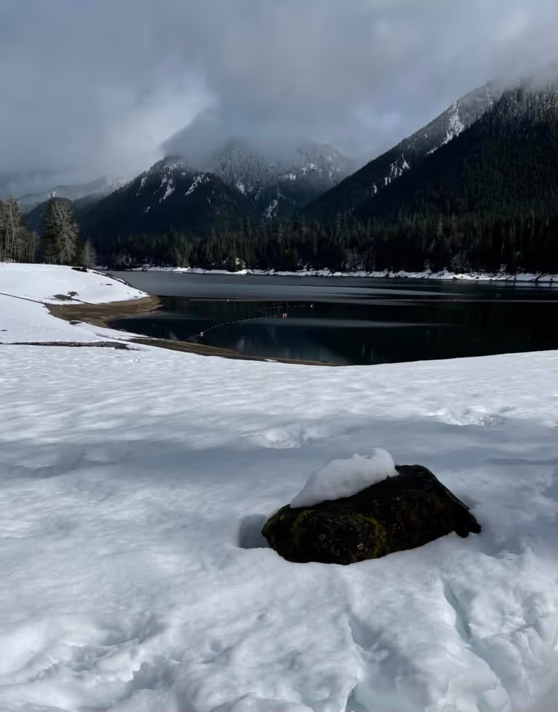
This is a large system, covering 2,700 square miles (~4345 square km) connecting a large proportion of Grays Harbor County to Cowlitz, Jefferson, Lewis, Thurston, and Pacific Counties. Most of the watershed drains the Coast Range/Willapa Hills to the south of Grays Harbor. This type of watershed is relatively unique in Western North America. Typically, rivers in the West have headwaters in higher alpine regions and the hydrograph, which measures the frequency and timing of varying water levels, is strongly driven by the amount of snow fall and the timing of the spring melt. Rivers in Coast Range watersheds from California to Washington have hydrographs driven by the timing of rain precipitation. In Washington, peak flows in Coast Range rivers are documented during winter into spring, usually much earlier than peak flows from snow melt. Although the main branch of the Chehalis River is driven by rain falling on the Coast Range, two tributaries of the Chehalis River originate in the foothills of the Cascade Mountains and two other tributaries originate in the Olympic Mountains, potentially receiving spring run-off from melting snow.
The river connectivity of the Chehalis River watershed greatly impacts the Grays Harbor shipping lanes, shellfish farming, the physical landscape of Ocean Shores and Westport, Pacific salmon fisheries, and other forms of commerce. Early European loggers used rivers to transport logs downstream with impacts from this practice still seen today. Currently, an estimated 200,000 people live in the watershed shaping this natural ecosystem and, in turn being shaped by it. For example, early clear cutting sent huge amounts of sediment into the rivers and subsequently into Grays Harbor necessitating dredging and eventually construction of the jetty system in Westport and Ocean Shores to keep the shipping lanes clear. The construction of the jetties has influenced the way sediments are carried in and out of Grays Harbor, altering the bayside and the Pacific-side shorelines for over a century.

The land use in the Chehalis River Watershed is characterized by towns and cities, farming and ranching, and logging. People from all over the world visit the region for its beauty and recreational amenities. Larger towns and cities in the Chehalis River watershed include Aberdeen, Centralia, Chehalis, Elma, Hoquiam, Montesano, Ocean Shores, and Westport. Smaller towns include McCleary, Pe El, Oakville, and Rochester. Two major dams are found in the watershed, the Skookumchuck and Wynoochee. Interstate 5 crosses the upper part of the watershed from north to south. US HWY 12 and 101 traverse the Chehalis Watershed as well. Towns, reservoirs, highways, and roads all impact water quality and river health, but the watershed also receives runoff from the Washington Capital Forest and other state and national parks.
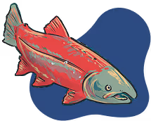
In the months to come, we will explore on-going efforts to restore rivers in the watershed and to sustain populations of Pacific salmon. We will explore research in the region and how scientists document water quality and health for nature and for human uses. Finally, we will track how the landscape and rivers are connected upstream and downstream for the Chehalis River Watershed. In addition, we will explore the important estuaries of the Chehalis River watershed.
References
National Weather Service. 2023. Hydrology Education: Hydrographs. https://www.weather.gov/lot/hydrology_education_hydrographs#:~:text=A%20hydrograph%20is%20a%20way,visually%20on%20a%20single%20graphic. (Last accessed 15 May 2023)
Washington Department of Ecology. 2023. Chehalis Basin Long-Term Strategy. https://ecology.wa.gov/Water-Shorelines/Shoreline-coastal-management/Chehalis-Basin (Last accessed 15 May 2023)
USGS. 2023. Chehalis River at Porter, WA - 12031000, discharge.
https://waterdata.usgs.gov/monitoring-location/12031000/#parameterCode=00060&period=P365D. (Last accessed 15 May 2023)
© Barbara Hayford, May 2023
Touch whale bones, examine shipwreck artifacts and connect with the coast's living history.

Support our mission, get involved in educational programs, or contribute through donations and volunteering.